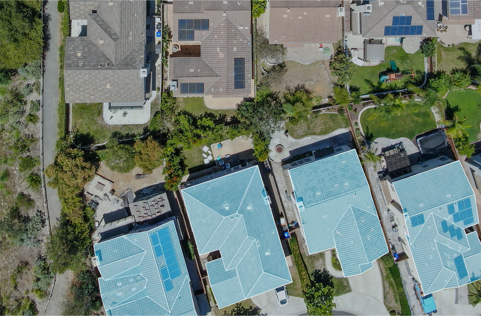
Drone and Infrared Roof Inspection Across Sioux Falls
The worst problems on a big flat roof are the ones you cannot see standing on it. Insulation that has gone to mush under an intact-looking membrane, a seam quietly failing twenty feet upstream of the stain on the ceiling, a low spot that keeps a drain from ever clearing fully, all of it stays hidden from a person walking the field. So we fly the roof instead. High-resolution aerial photography paired with infrared thermography lets us diagnose what is actually happening inside the assembly from the data, not from a hunch, and it does that without sending a crew tramping across a surface whose soundness is still an open question.
The roofs where this pays off are the roofs Sioux Falls has in abundance. The food-processing and manufacturing plants in the I-90 industrial belt, the distribution buildings near the Sioux Falls Regional Airport and out toward Foundation Park, the long grocery and big-box roofs lining 41st Street and Louise Avenue, these are measured in acres, not squares. On a footprint that size, a foot-walk eats hours, skips the ponding areas where water actually collects, and drags grit across seams that were watertight before the inspector ever climbed the ladder. A single flight covers the entire field at a fixed altitude in a fraction of that time and leaves nothing behind.
The Physics: Why Wet Insulation Glows
Infrared does not see water. It sees heat, and that distinction is the whole trick. Wet insulation and dry insulation store and release heat on completely different schedules. Across a sunny day the entire roof assembly soaks up solar energy, and once the sun drops, the dry areas radiate that heat back to the night sky quickly and cool off, while the waterlogged areas hold their heat and keep glowing warm in the thermal image well after dusk. We fly that evening cool-down window so the saturated zones light up bright against the cooled-off dry field, then trace their outlines right on the imagery. What comes back is a moisture map showing exactly where water has worked into the insulation, even in spots where the membrane overhead still looks perfectly fine from the air.
That map is what converts a vague "it leaks somewhere over the warehouse" into an actual scope of work. It tells us whether the wet area is a contained patch we can saw-cut out and replace, or whether saturation has crept far enough that an honest answer is a recover or a full replacement. Confirming with a few test cuts beats guessing every time, and the thermal survey tells us precisely where to put them, so we are never coring a perfectly sound roof to chase a stain across the building.
Conditions Make or Break the Flight
A thermal pass is only worth flying when the weather cooperates, which is why we schedule the moisture survey around the forecast rather than the calendar. It needs a day with enough solar gain to charge the roof, a dry membrane surface so standing water does not swamp the signal, and low evening wind so the dry areas actually shed their stored heat on schedule. A roof that is wet, recently rained on, or sitting under heavy overcast simply will not produce a usable thermal image. Done in the right window, though, one evening flight maps the moisture across an entire plant roof that would otherwise take a crew days to probe by hand, core by core.
What the Visible-Light Survey Captures
The daylight side of the flight builds a complete photographic record of the roof exactly as it stands today. We capture every drain and scupper, each curb and equipment penetration, the perimeter edge metal and coping, the seam condition across the whole field, and every patch of ponding, blistering, and surface debris. On a roof where nobody has laid eyes on the back corners in years, that record alone routinely turns up choked drains and lifting flashings that had been quietly feeding interior leaks all along.
- Trapped-moisture mapping from the thermal pass, with saturated areas outlined directly on the imagery.
- Drain and scupper condition plus the standing-water locations across the membrane.
- Penetration, curb, and equipment-base flashing condition.
- Perimeter edge metal and coping shown either seated correctly or lifting.
- Verified roof-area measurements for budgeting a repair or replacement scope.
Part 107, Airspace, and Staying Legal Over Sioux Falls
These are commercial flights, and we run them under the FAA's Part 107 rules every time. That means a certificated remote pilot at the controls, an aircraft registered for the work, and real attention to the airspace, which matters here because rooftops near the Sioux Falls Regional Airport and the Air National Guard's operations sit inside controlled airspace that requires authorization before a drone leaves the ground. We secure that authorization, keep the aircraft within visual line of sight, and clear each flight against the weather and anyone on the ground below. Keeping the crew off the roof is itself the safety payoff: nobody is exposed to a hidden skylight, a soft saturated deck, or an unguarded edge while we are still figuring out what shape the roof is in.
Storm Documentation an Adjuster Will Accept
After a hail or straight-line wind event, the value of a flight is speed plus proof. We can be over the roof fast and produce geotagged imagery that pins damage to specific coordinates, hail-strike density across the field, torn or displaced membrane, bent edge metal, dented rooftop units, in a format a commercial property adjuster can review without ever climbing up. That documentation backs a claim with located evidence instead of assertions, and it hands ownership a clean before-condition record going into capital planning and the next budget cycle.
When Flying Beats Walking
Aerial and thermal inspection earns its place on large, flat, hard-to-walk roofs and in the days right after a storm. It is less necessary on a small or steep roof a single technician can cover quickly and completely on foot. As a working rule, once a commercial roof runs past roughly ten thousand square feet, or once a moisture problem is suspected but not yet located, flying it is the faster and more thorough way to find out what is really going on up there.
Questions We Hear From Property Managers
Can infrared actually show where the water is? Under the right conditions, yes. Flown during the post-sunset cool-down, wet insulation reads warmer than the dry roof around it, and that signature is reliable enough to drive a repair-versus-replace decision. We confirm it with test cuts where the call is close.
Do you need permission to fly over our building? Near the airport and Guard airspace, often yes, and we obtain that FAA authorization before the flight. Everywhere else in Sioux Falls we still fly under Part 107 with a certificated pilot.
Will the inspection hurt our roof? No, and that is part of the point. Nothing touches the membrane during the survey, so there is no foot traffic working over the seams and no risk to skylights or soft decking.
How fast can you turn around a storm claim? Post-storm flights for claim documentation get prioritized, and we can usually deliver geotagged imagery within a day or two of getting over the roof.